The origin of the mists that have covered Xàbia in recent days
It is a common phenomenon at this time of year when the air temperatures rises but the sea remains cool.

Thursday 19th May 2022 – Mike Smith
Source: original article – Carlos López (Xàbia AL DÍA)
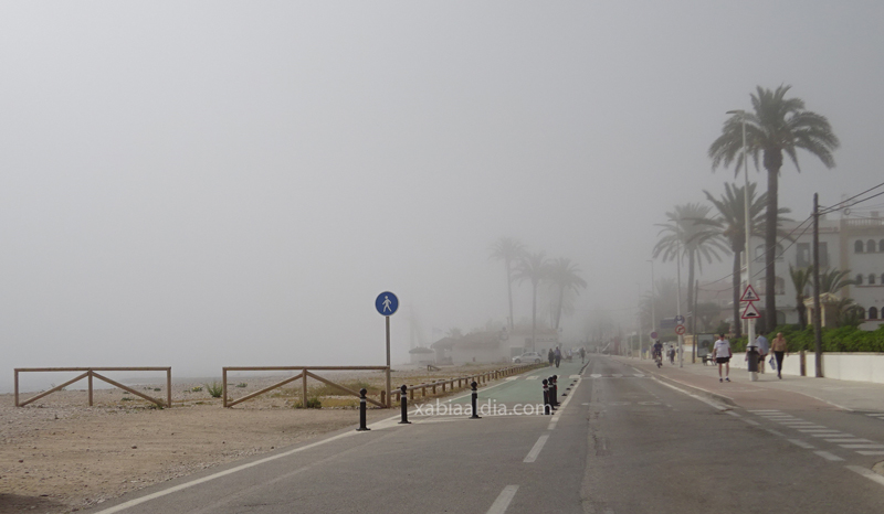
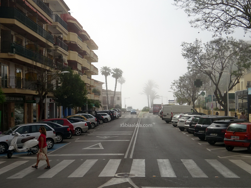
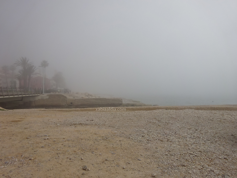
In recent days, a dense fog has covered much of the coast of Xàbia in the early hours of the morning, a thick cloud that has often reached the foot of the Montgó generated small droplets of water.
XAD has consulted the origin of this phenomenon with Toni Bolufer, head of Meteoxàbia and who keeps us informed of the prediction every day through his Facebook page and his Telegram channel.
Bolufer explained that this phenomenon is known as advection fog and is formed by the collision of a mass of warm air with the sea, which is still “relatively chilly”. These days the temperatures in the interior of the region are between 28 and 30 degrees whilst the sea water is about 20 degrees.

Therefore, when the air mass collides, “it condenses and forms fog”, which often stays along the coast but “if it has more strength it can drift 1-2 kilometers inland”, he explained.
He also said that there are two types of fog, advection and radiation, and are the first most common at this time of year “it’s very hot, but still the water temperature has not risen much.”


