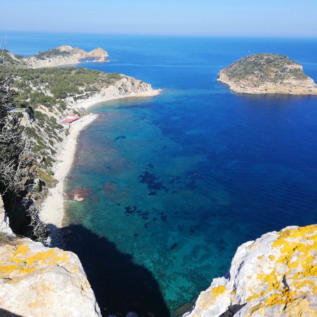
One of the best ways to explore the coastline of Xàbia is to visit the network of viewpoints which have been selected due to their stunning vistas along some 25 kilometres of cliffs, coves, beaches and bays. From the historic windmills in the north to the windswept plateau of La Granadella in the south, the viewpoints have long been popular to enjoy the best that Xàbia can offer and some have even become popular picnic stops where families can enjoy snacks against a stunning backdrop.
Els Molins
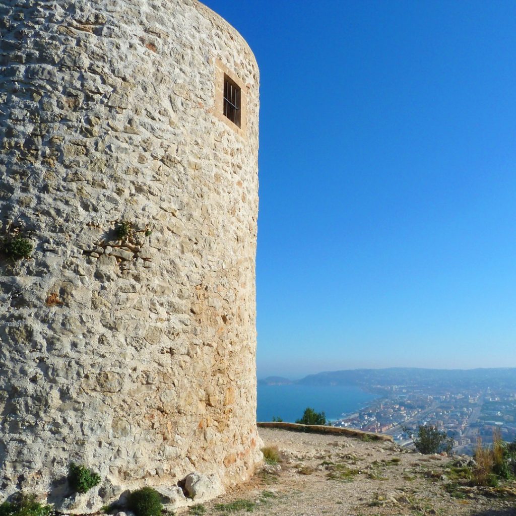
Parking: limited, 100m walk to the viewpoint.
Wheelchair Access: difficult, rough stony track.
Facilities: none.
The first viewpoint in the network can be reached by road via Camí del Monastir or on foot from the valley below by a series of paths, one of which we have described here.
These windmills were built between the 14th and 18th centuries to take advantage of the Llebeig south-westerly winds which blow almost constantly across La Plana and were used to grind wheat and other cereals which grew in the valley. Largely abandoned, some have been acquired by private individuals and converted into accommodation whilst others belong to the town hall and have benefited from various stages of renovation in recent years.
There have been plans to restore at least one of the towers with the conical roof and wide sails that they used to have. The view is quite stunning across the wide valley of Xàbia across to Granadella and the peak of Puig de la Llorença with its communication masts whilst one can also see the jagged ridge of the Sierra Bernía as well as the distinctive shape of Calp’s Peñon d’Ifach.
Cap de Sant Antoni
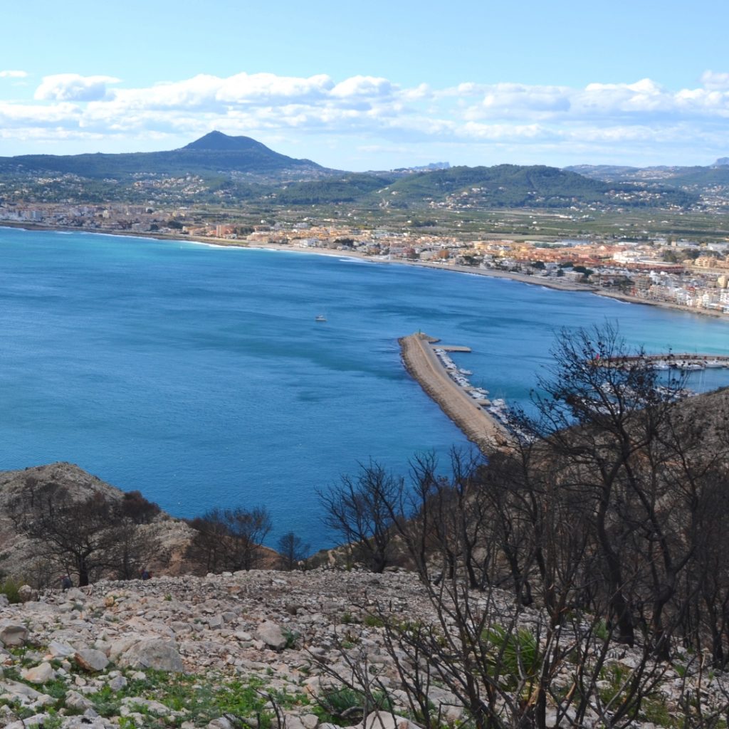
Parking: right next to the viewpoint; busy in summer
Wheelchair Access: good
Facilities: none.
This is an extremely popular viewpoint due to the ease of access for vehicles. It can also be reached on foot from the port area of Xàbia via the first section of the official path PR-CV 355 which we have described here.
It’s about 160m above sea level here so the views are quite stunning. To the south is the wide bay of Xàbia and you can see right across it to the headlands of Cap Prim and Cap Negre whilst the Puig de la Llorença and the inland mountain are clearly visible. Compared to the southern flanks, the northern cliffs are vertical sheer drops to the water below and there are views across the huge bay of Valencia as far as Cullera and perhaps beyond on very clear days.
At the headland is the lighthouse built in 1894. Walking towards it, there are some rusting gates to the right and a long straight path of some 160m in length which leads to another platform – Mirador Cap de Sant Antoni II – from which there are great views across the bay and inland along the rolling southern flanks of the headland.
At the lighthouse, another set of gates leads to a path running along the complex which leads to a third platform – Mirador Cap de Sant Antoni III – which has some more great views.
Punta de l’Arenal
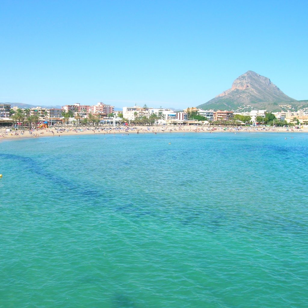
Parking: right next to the viewpoint; busy in summer.
Wheelchair Access: excellent.
Facilities: bars and restaurants within metres.
This is possibly the most accessible viewpoints in the network, a viewing platform at the southern end of the beach promenade affording great views across the Arenal beach to the mountain of Montgó beyond. There are a couple of low benches from which to admire the view but many people sit on the tosca stone wall for photos and selfies. A narrow rocky path passes underneath the viewpoint to allow further exploration of the Punta de l’Arenal.
Across on the other side of the little bay is the Parador Nacional, the only hotel of its kind in the Costa Blanca, next to which are the remains of a Roman salted meat and fish factory dating back to the 1st to 3rd centuries CE. These were supplied by salt harvested from the flat lands of the Saladar which were flooded with seawater which was then allowed to evaporate leaving the salt. There was a thriving Roman settlement along this stretch of the coast right up until the 8th century CE.
Séquia de la Nòria
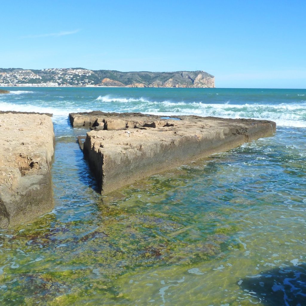
Parking: limited, no parking on main road.
Wheelchair Access: good, although one step.
Facilities: none.
This viewpoint lies midway along the Avenida Ultramar driving south away from the Arenal beach, hidden behind seafront houses and marked by a low tosca stone wall. Parking is almost non-existent so the best option is to make the five-minute walk from the Arenal. Here you will find a deep channel cut into the rocky coastline.
These rocks are the result of fossilisation of huge underwater sandbanks which formed some 100,000 years ago and they are easily cut, being widely used in construction in the region. The deep channel, fed by a number of smaller channels cut at angles, was created in order to flood the flatlands just beyond to create salt flats; the Saladar.
Almost certainly connected to the salted meat and fish factory in the Arenal, the channel was augmented by a large wooden wheel – the “nòria” – during the late medieval ages which was turned by a horse to move seawater down the channel and optimise salt production. These days the channel can be viewed across the number of wooden bridges but being quite clogged with sand and debris seawater no longer floods the flatlands.
Cala Blanca
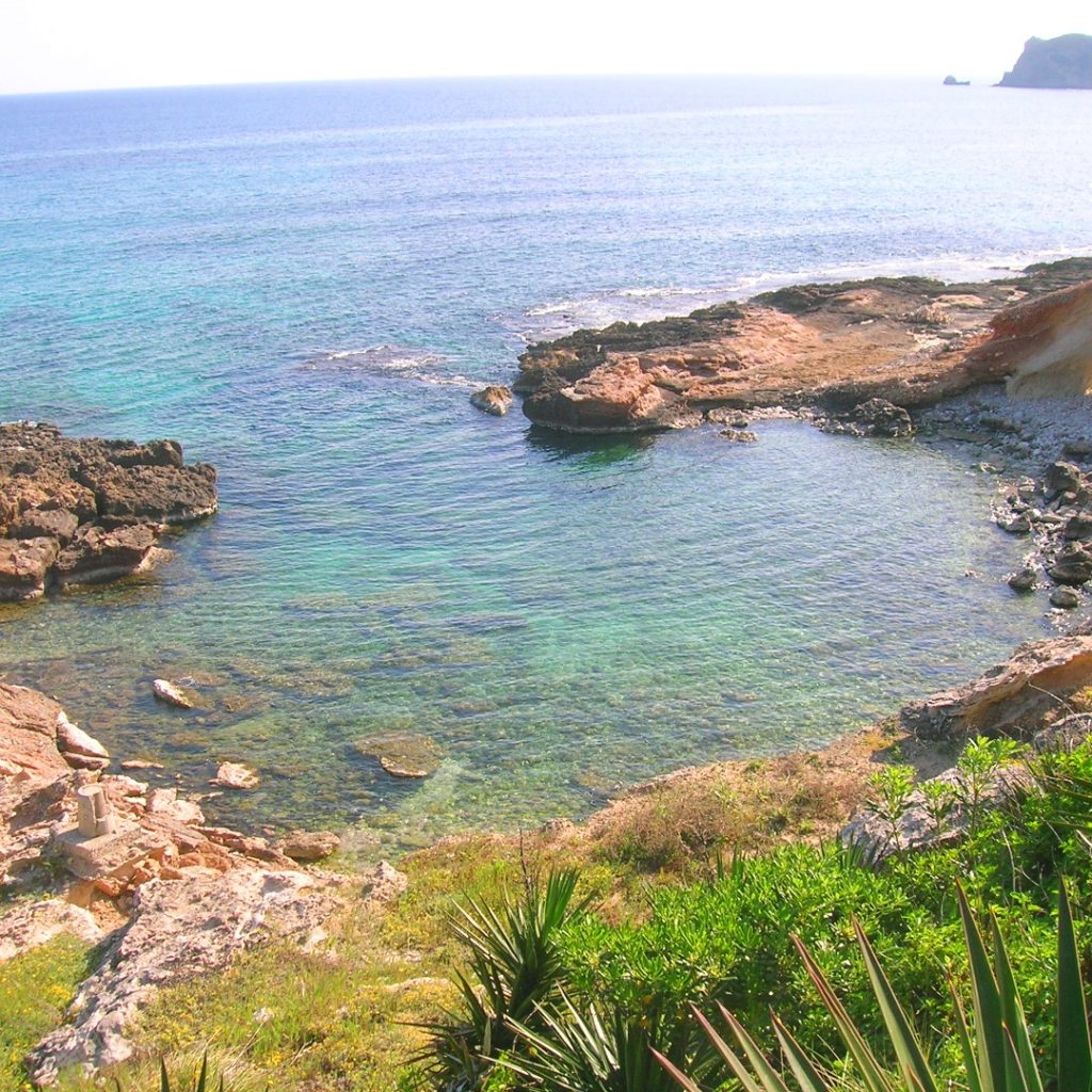
Parking: Plaza Guillermo Pons, 200m walk.
Wheelchair Access: limited, steps.
Facilities: none.
The viewpoint is up a set of steps at the end of the short promenade, a small platform above the little cove called Caleta de Fora. One can park in the parking zone in Plaza Guillermo Pons or in Camí Calablanca from which there is just a 6om walk. Along the coast, following a wide path, there is another viewing area which has great views.
Cala Blanca marks the point at which the rocky limestone coastline becomes the white marlstone and clay that gives this viewpoint its name. To the north is the impressive headland of San Antonio across the bay of Xàbia and in between are the low rocks of the First and Second Muntanyar, the fossilised ancient sandbanks which sweep towards Cala Blanca. To the south the coast rises again to form Cap Prim, also known as Cap de San Martín, which is the southern border of the bay.
The natural little bay is a popular and safe bathing spot and there is a path that runs around the bay and leads around to another very popular bathing spot which can also be accessed from the nearby viewpoint called ‘Caletes’.
Caletes
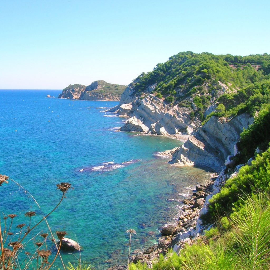
Parking: right next to the viewpoint.
Wheelchair Access: good
Facilities: none.
Caletes is a great viewpoint located up the narrow road of Camí Calablanca about 250m further along the coast from Cala Blanca. There are a series of terraces with benches from which to admire the view along the cliffs and north towards the headland of San Antonio. Here the coast becomes steep again, a protective arm across the southern edge of the bay.
The popular anchorage point of Cala Sardinera was where a traditional fishing art known as “L’Almadrava” was carried out for almost 400 years to catch tuna fish following an annual migration route which passes very close to this part of the coast.
There is also Cala Francés, a hidden cove which is difficult to get to and quite sheltered so it has become quite popular with those who like to shed their inhibitions and go more “au natural” under the summer sun.
Creu del Portitxol
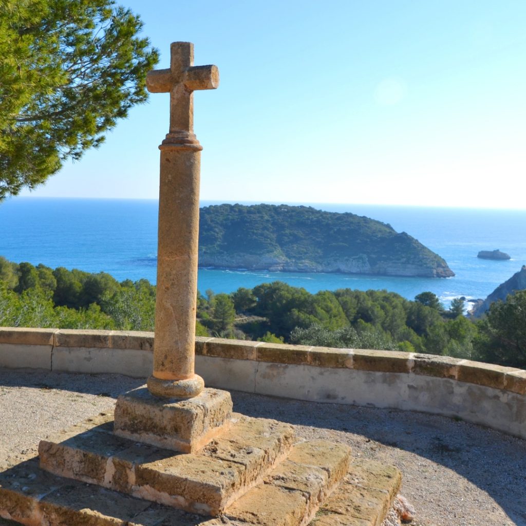
Parking: next to the viewpoint but limited in summer.
Wheelchair Access: good, although difficult to access viewpoint platform itself.
Facilities: none.
Located on a bend on Carretera del Portitxol is one of the most iconic viewpoints in the network: the cross of Portitxol. From here one can admire a truly Mediterranean landscape with abandoned terraces now reclaimed by lavender, rosemary and thyme as well as white pines. Much of the area is protected as a Botanical Microreserve.
Off the coast sits the low privately-owned island of Portitxol whilst on a clear day one can see the island of Ibiza nestling on the horizon. This bay has been a natural anchorage for many years and Roman amphoras and other remains have been found dating back to the 3rd and 4th centuries CE.
From here one can walk to the end of Cap Prim using the official path SL CV-98 which afford stunning views north across the bay to the headland of San Antonio and the mountain of Montgó as well as south across the Portitxol bay.
One can also make the 15 minute walk down to the popular Playa de la Barraca using the official path SL CV-97, a great option to avoid the great stress of trying to park down by the beach which is almost impossible during the busy summer months.
L’Illa
Parking: limited in the cul-de-sac
Wheelchair Access: two steps; grassy surface
Facilities: none.
Added in 2009, this viewpoint is hidden away amongst the houses of Urbanisation Mar Azul, a few metres off the main road down to the popular Playa de la Barraca. However it’s worth making the effort to drive down the steep Carrer de la Barraca; watch out for the small wooden mirador sign showing the way to the viewpoint after about a kilometre down the winding road.
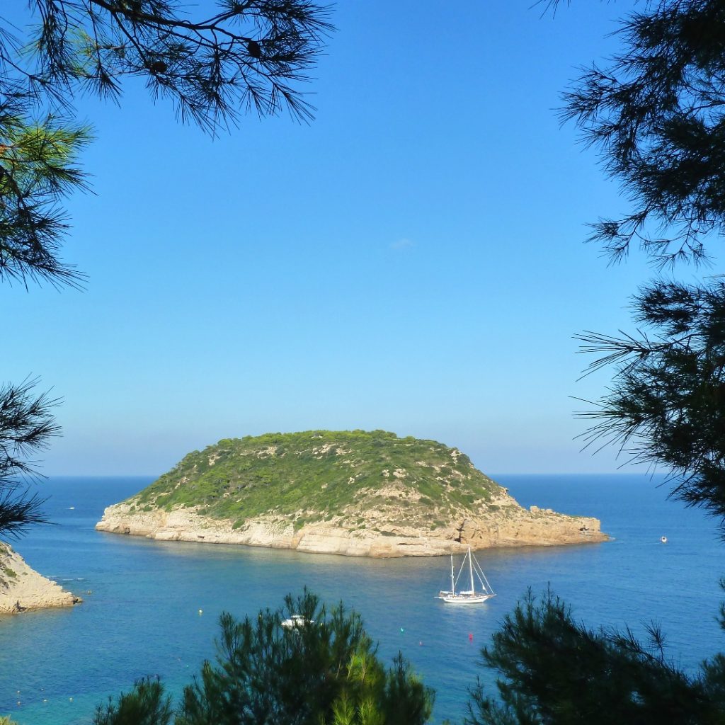
The viewpoint is at the end of a cul-de-sac (Carrer Fartet), a wide shady platform which is a great place for families to enjoy a picnic whilst admiring the views over the Portitxol bay which is dominated by the 330m long and 75m high island which gives the viewpoint its name.
This small bay is an ancient anchorage which provided shelter to Phoenician, Greek and Roman vessels. Consequently there have been a number of important archaeological discoveries in the waters which confirmed the importance of the bay as a trading settlement dating back thousands of years. Now it is one of the most ecologically interesting and scenic landscapes which is a popular spot for scuba diving.
La Falzia

Parking: end of the road; 75m walk.
Wheelchair Access: poor, rough track.
Facilities: none.
This viewpoint is located through the pine trees at the end of the cul-de-sac of Calle Pagre on the very edge of steep cliffs some 150m above the waters of the bay of Portitxol. It stretches for some 100m along the cliff-top amongst the trees and is a favourite to enjoy the stunning views from one of its many wooden benches.
To the north the wooden fence gives some protection from the dizzy drop down to the Playa de la Barraca with the ever-present island of Portitxol. A walk through the trees to the other end of the viewpoint affords another stunning view to the south across deep narrow inlet known as “La Canal” to the impressive Cap Negre headland.
From this viewpoint one looks almost directly down into the sea and can see the great underwater fields of seagrass which are of huge ecological importance, oxygenating the water and providing a refuge for fish and other sea-life. At the southern end of the viewpoint there is a small path that runs through the trees and along the cliff edge to another great viewpoint spot at the end of Calle Joaquin Rodrigo.
Punta de Cap Negre
Parking: road parking; 175m walk rough track.
Wheelchair Access: difficult due to rough track.
Facilities: none.
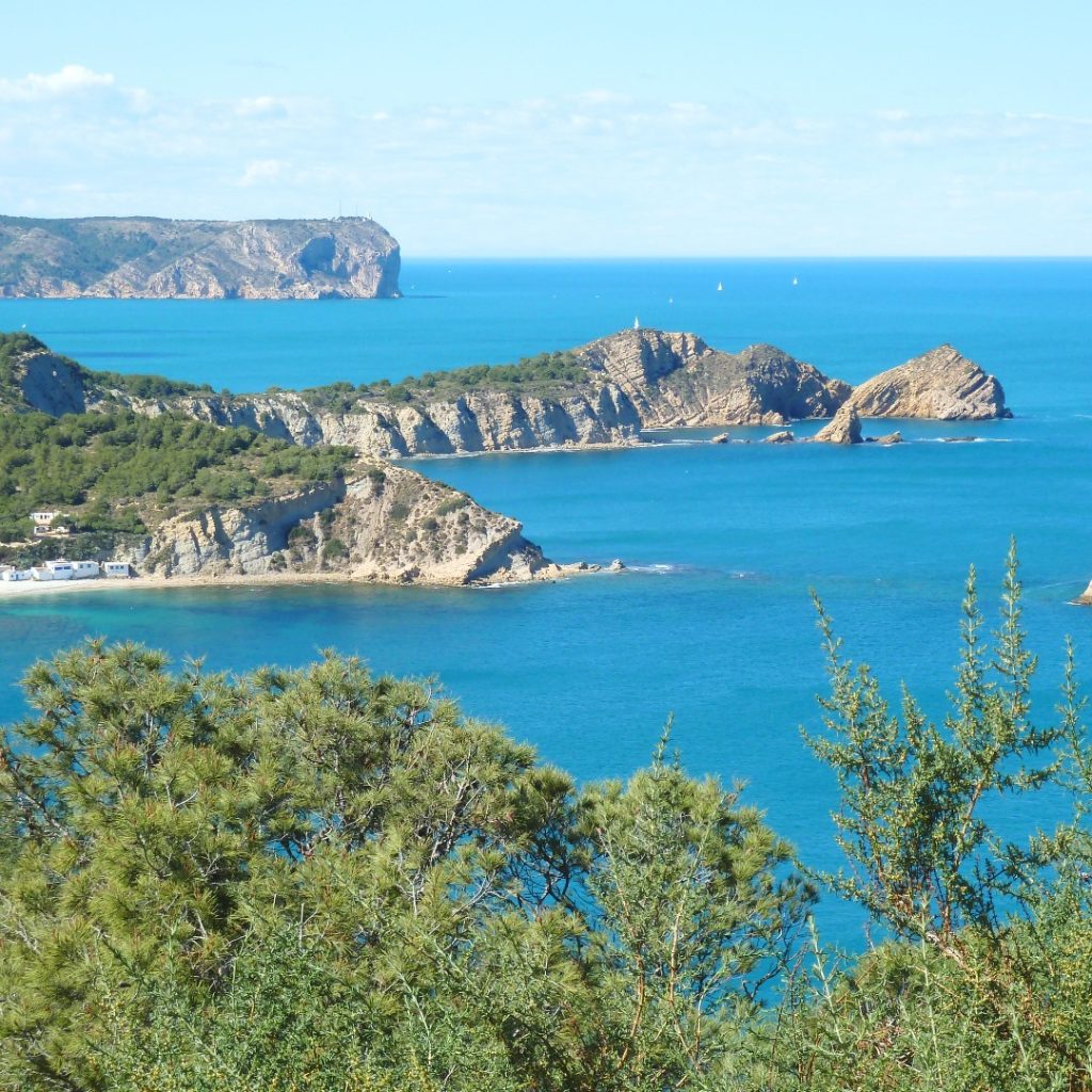
This is one of our favourite viewpoints located down some 175m down a sloping track at the end of Carrer Cap Negre. It provides another of the most iconic views in the network, a stunning backdrop across the bay of Portitxol to the headland of San Antonio and Montgó.
As you walk down the end, the view to the left brings enormous pleasure and it will take you some minutes to cover the short distance because you’ll want to stop regularly to take it all in. From here one can easily make out the Barraca beach and the old fishermen’s cottages that line it. Right up until the 1950s, traditional boats with latin sails were moored here, making the most of the relative shelter given by the island.
At the viewpoint itself there are two wooden benches and a wall to take a rest and enjoy the views whilst a rocky path leads away to the south from which you can the famous rock of L’Escull which rises abruptly out of the water and is a popular spot for scuba diving.
Note: although wheelchair access to the viewpoint itself is difficult, there are still great views from the roadway at the beginning of the track.
Cap de la Nau
Parking: road; busy in the summer; 150m walk.
Wheelchair Access: none, due to steps and rocks.
Facilities: restaurants; ice cream parlour in summer .
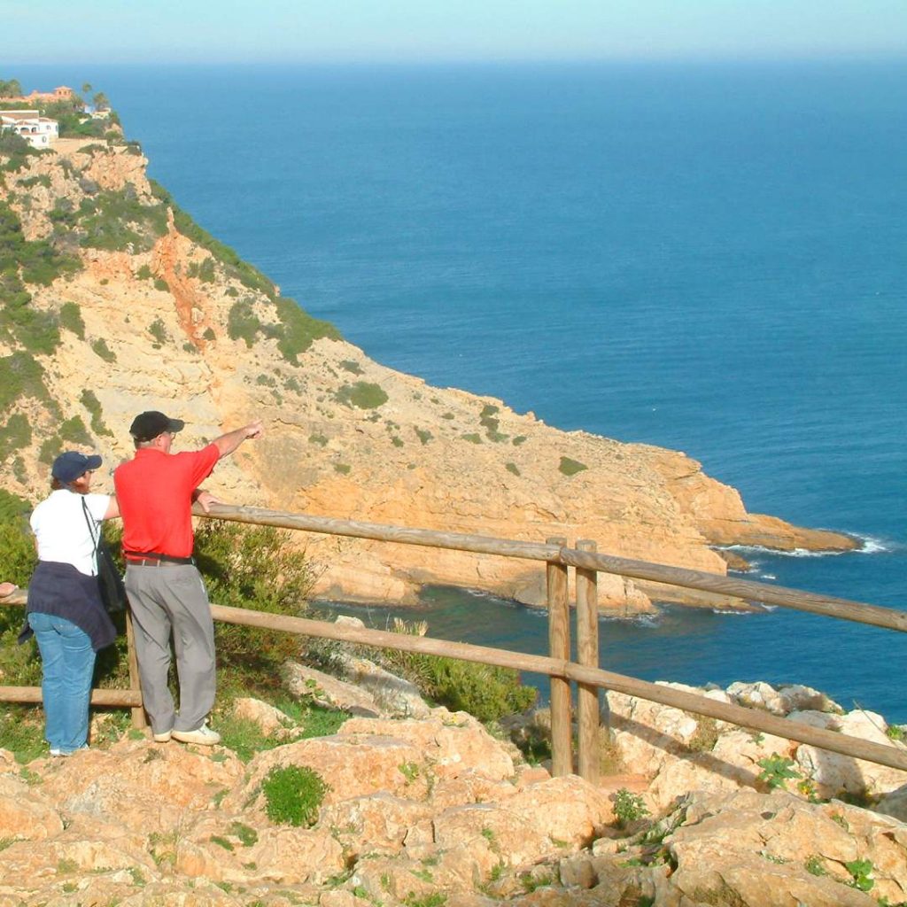
The viewpoint is located up a shallow set of wide wooden steps from the car-park, past the restaurant of the same name and across some very rugged ground so care should be taken when crossing to the wooden fence. This is assumed to be the most easterly point of the Comunidad Valencia with the island of Ibiza clearly seen on the horizon on clear days. And since it was an important reference point for navigation along the coast, a lighthouse was built in 1914.
This is another Botanical Microreserve to protect the native vegetation as development crawled relentlessly across the headland. Note that many of the trees grow quite low and quite crooked thanks to the winds which blow almost constantly across here. Unseen from the viewpoint there is a famous sea cave below, the Cova dels Orgüens which was explored by Valencian naturalist J A Cavanilles at the end of the 18th century.
A word of warning: the concrete pillar looks inviting to climb but it has been strictly off-limits for the past few years after a tourist tried to scale it, fell and died from the subsequent injuries.
Les Pesqueres
Parking: end of the road; 40m walk.
Wheelchair Access: accessible but grassy path.
Facilities: none.
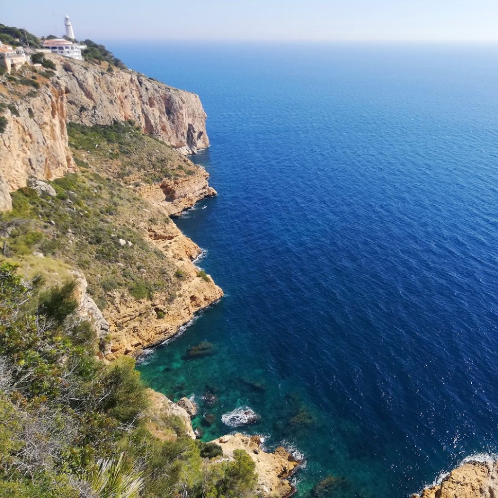
One of the biggest viewpoints is located within the Urbanisation La Siesta at the end of Calle Juan Carlos Pau. Its name means “Fishermen’s Point” and from these sheer and steep cliffs have hung men from Xàbia and the neaby village of Benitatxell to fish the clear deep waters with traditional rods and tridents. If you look closely you can spot wooden ladders and cane platforms hanging precariously above the sea and some brave people still come to fish from them.
The viewpoint extends for some 300m either side of the large tree and affords some great views south along the coast towards the Moraira’s Cap d’Or and even further to the distinctive shape of the Peñon d’Ifach at Calp.
A walk along the cliff edge is a must and there are some wooden benches, many of which have been placed in memorium to a resident of Xàbia, on which one can sit and enjoy the views.
Ambolo
Parking: road parking right next to the viewpoint.
Wheelchair Access: steps, high walls might obscure view.
Facilities: none.
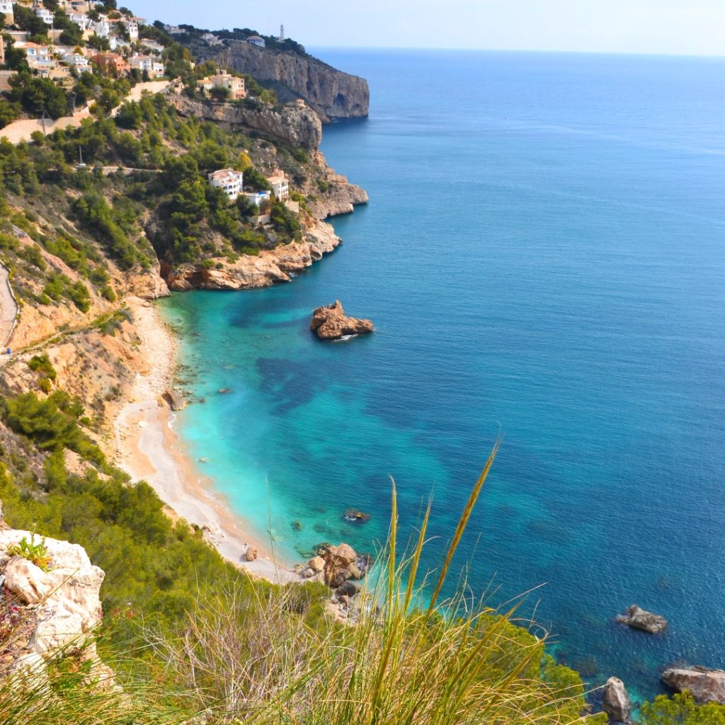
The Ambolo viewpoint is regarded as one of the “must-see” places in Xàbia, located at the end of a narrow headland affording stunning views on either side. It’s located at the end of the steep cul-de-sac of Calle Torre Ambolo. To the east is the more famous view across the beach of Ambolo, officially closed due to danger of rockfalls but still frequented by sun-worshipers and it’s the official “naturist beach” in the area.
To the right is the island of the Descubridor – the “discoverer” – apparently named after a Xabiero who sailed with Christopher Columbus on his epic voyage to the West Indies.
The view to the west is dominated by the peak of Puig de la Llorença with its communication masts and brightly coloured houses whilst below it is the headland of Morro del Castell guarding the entrance to the cove of La Granadella. On this side there is a steep staircase that leads down to the Sol de Barranc, a popular fishing point right down on the water’s edge.
Castell de la Granadella
Parking: road parking next to viewpoint.
Wheelchair Access: difficult with rough ground.
Facilities: none.
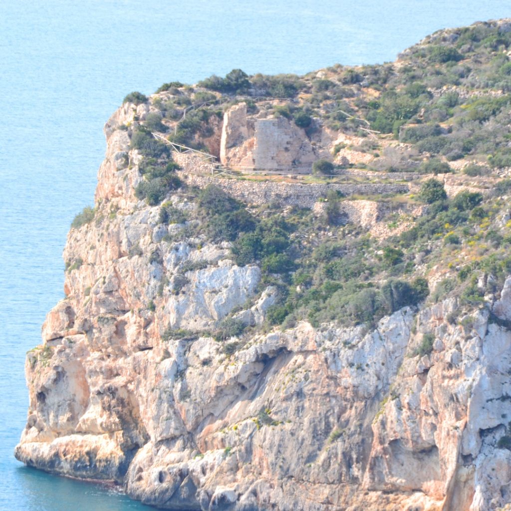
The viewpoint lies just a few metres from the first hairpin curve of Carretera de la Granadella, a spot shaded by pine trees and with a carefully-created seating area which affords some great views towards the headland of Ambolo and its tower below which you can make out the Cova del Llop Marí, another of Xàbia’s famous sea caves.
To the right is the headland at the end of which are the remains of the small fortress of Granadella which gives this viewpoint its name. It was built in the early 18th century to guard against attacks from North African raiding parties but was destroyed by British troops during the Peninsular Wars.
The remains can be reached by a wonderful coastal path which leads up from the Cova La Granadella just a few minutes drive down along the main road from the viewpoint. Click here for more information.
La Granadella
Parking: end of the road; 75m walk.
Wheelchair Access: difficult with rough ground.
Facilities: none.
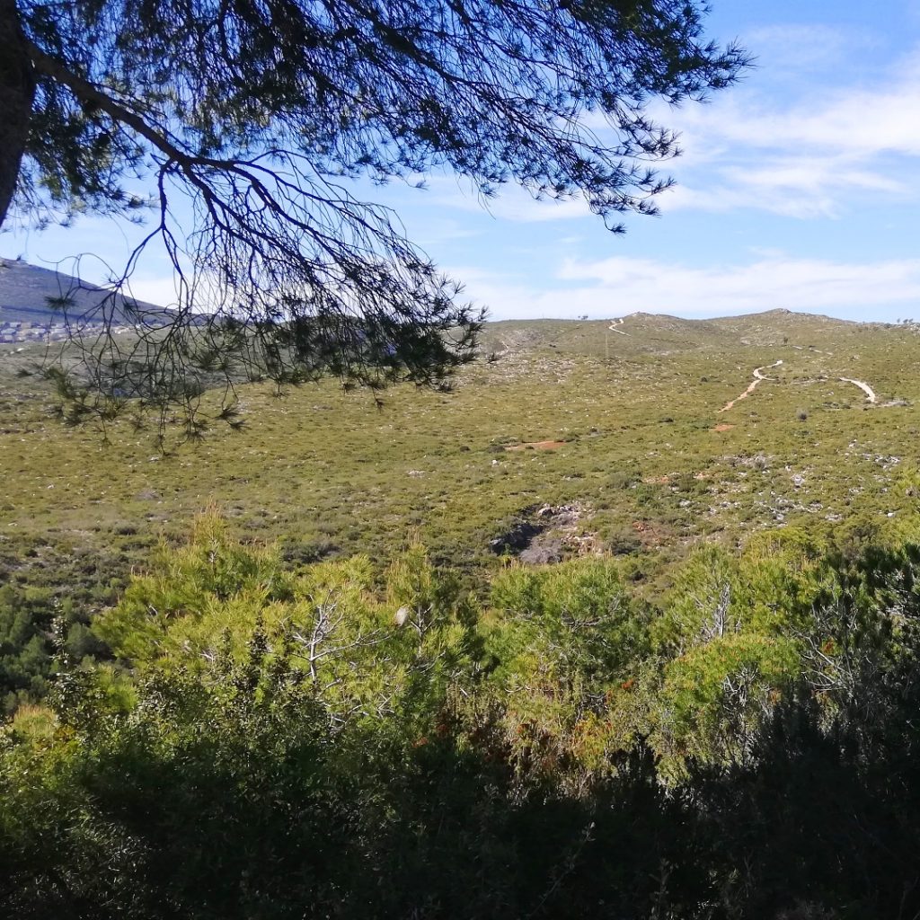
This is a viewpoint that is rarely visited, located as it is at the end of the narrow cul-de-sac of Camí Vell de la Granadella where there is very limited parking. It’s an almost circular natural viewing platform with great views across the Parque Forestal de la Granadella, sadly ravaged during the inferno that ripped across the area in September 2016.
Renovation work is still continuing with damaged trees being removed which is opening up even more views. The west is dominated once again by the peak of Puig de la Llorença whilst the mountain of Montgó can be seen to the north.

